City of Vancouver, Mid-70’s

1970s-Aerial-view-of-Downtown-Vancouver-and-False-Creek-between-Burrard-Street-and-Granville-Street-Bridge-with-train-bridge-and-Granvill

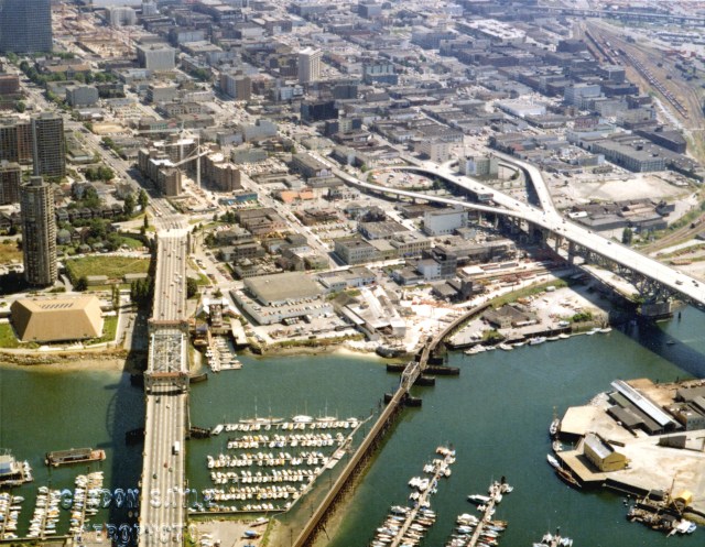
The railway lines are on the top right of this aerial shot. In fact the first bridge is probably Cambie Street, The Broadway and Columbia bridges are just out of view.

Why is this important? Because the SkyTrain, which was introduced during Expo ’86 is now superimposed over the railway tracks. The landscape has changed forever from when I lived there.

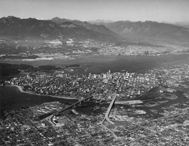
Here’s another view, including the North Shore. Stunning vistas.

North Vancouver Aerial

Unknown's avatar

About cdsmiller17

I am an Astrologer who also writes about world events. My first eBook "At This Point in Time" is available through most on-line book stores. I have now serialized my second book "The Star of Bethlehem" here.
This entry was posted in history and tagged , . Bookmark the permalink.

Leave a comment

This site uses Akismet to reduce spam. Learn how your comment data is processed.